
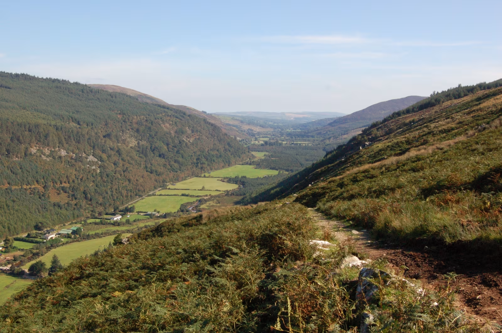
Glenmalure is twenty kilometres of glacial valley running back into the Wicklow Mountains, and it's the closest thing Ireland has to genuinely remote. You drive in on a single track road and the signal drops about halfway along. There's no shop, no café, no petrol. At the far end: a waterfall, the highest mountain in Leinster, and a hostel that Maud Gonne and Constance Markievicz once used as a safe house for reasons that had nothing to do with hill walking. It's about an hour from Dublin and it feels like a different planet.
Getting there and the drive in
The main approach is from Laragh, a small village five minutes from Glendalough. Take the R755 south, then follow the signs for Glenmalure on a narrow road that threads between the two ridges for the best part of ten kilometres before it runs out of road at the valley head. The whole drive from Laragh takes about twenty minutes, depending on how often you stop to stare back at where you just came from. And you will stop.
The valley sides are steep enough that sunlight only reaches the valley floor for part of the day in winter. The road follows the Avonmore River for most of the run in. When you stop the engine at the end there's a silence that makes you feel you owe it something. No music, no podcasts. Go slowly and look.
There's an alternative approach from Aghavannagh to the south, connecting into the Military Road network. Most people come from Laragh because it pairs naturally with Glendalough. If you're doing the Military Road drive from Dublin, Glenmalure is a detour that adds an hour and is absolutely worth it.
Lugnaquillia, the big one
The peak at the head of the valley is Lugnaquillia, 925 metres and the highest summit in the province of Leinster. It's a serious mountain route from Glenmalure, not a pop-up-to-the-viewpoint-in-trainers situation: the standard circuit via Fraughan Rock Glen takes five to six hours and needs navigation ability in low cloud. The upper section comes out on a broad boggy summit plateau where, in any decent fog, you genuinely won't know which direction you came from unless you have a compass or a clearer-headed companion than yourself. The view on a good day is worth every step. On a cloudy day it's still worth it, just for slightly more character-building reasons.
If Lugnaquillia isn't on the agenda, the walk up Fraughan Rock Glen itself is rewarding and considerably less committed. It's a deep cliff-fringed hanging valley branching off the main one, and you can walk as far as feels right and turn back on the same path. No summit baggage, no navigation stress, just good honest mountain scenery.
The waterfall
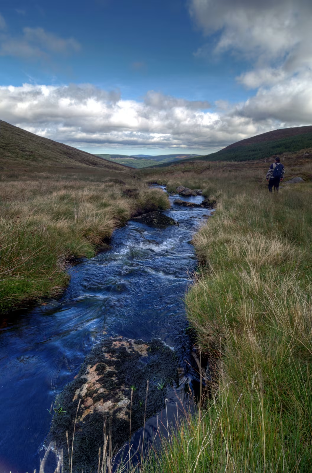
The Carrawaystick Brook drops down from the high ground to the east and falls over a series of cascades before it reaches the valley floor. It's about ten minutes' walk from the car park at the road end. After a wet week in autumn it's class, a proper curtain of white noise crashing into a dark pool. In a dry August it's thinner, but the Wicklow weather means a bone-dry August is rare enough that you're unlikely to be unlucky. Give it a lash either way.
The 1580 battle and the history
In July 1580 an English army under Lord Grey marched into Glenmalure to flush out Fiach MacHugh O'Byrne and the Wicklow clans who'd been sheltering there. The O'Byrne clan and their allies were waiting on the valley sides, and the English walked into one of the worst defeats they ever suffered in Ireland: somewhere between five hundred and a thousand dead, in a valley with one entrance and steep forested slopes above them on both sides. It's considered the most significant native Irish military victory of the sixteenth century. They really didn't read the valley right.
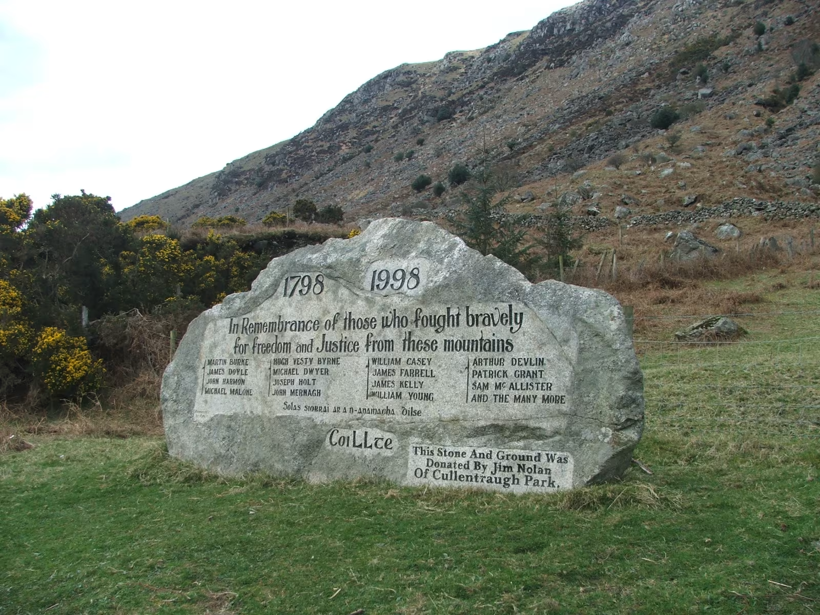
There's a memorial stone near the car park. It's not a grand monument. It's a flat slab with an inscription, and it sits quietly in a field in a way that's oddly more affecting than something taller would be. The fact that the valley still looks and feels remote and watchful probably helps.
The hostel and who used it
The An Óige youth hostel at the valley head was a hunting lodge before it became a hostel in 1903, making it one of the oldest in Ireland. The guest list during the revolutionary years reads like an attendance register for the entire independence movement: Constance Markievicz, Maud Gonne, Éamon de Valera, W.B. Yeats. The valley had always been a refuge for people who needed somewhere the authorities were unlikely to look, and in the early 1900s that function hadn't changed much from 1580.
It's still open today as a basic dormitory hostel. If you want a night at the end of the longest glacial valley in Wicklow with no street noise, no phone signal, and nothing but the river and the dark outside the window, book ahead because it fills on summer weekends.
Practical notes
- Phone signal drops out about halfway in. Download your maps before you leave Laragh.
- No fuel, no food, no café in the valley. Sort yourself out before you go.
- The car park at the road end is free. It fills by mid-morning on summer weekends.
- The road is single track in stretches. Use the passing places and pull over early when you meet a forestry vehicle, because they're not pulling over for you.
- For Lugnaquillia, a 1:25,000 OS map is non-negotiable. The summit plateau is fine in clear weather and genuinely disorientating in cloud. Start early.
- The best half-day combination is Glenmalure in the morning and Glendalough in the afternoon. Laragh is four minutes between the two.
- For the bigger Wicklow mountains picture, the piece on the Wicklow Mountains as a Dublin escape covers the range as a whole.
How long does Glenmalure take to visit?
The drive in and back with a stop at the waterfall and memorial takes about two hours from Laragh. Add the Fraughan Rock Glen walk and you're looking at half a day. Lugnaquillia is a full day in itself; start before nine and allow seven to eight hours including rests. Most visitors do a half day and combine it with Glendalough, and that's the right call.
Can I walk to Lugnaquillia from Glenmalure?
Yes, and it's the most popular approach to the summit. The standard route goes via Fraughan Rock Glen and the north-east ridge: roughly fifteen kilometres return with about 900 metres of climbing. Strong walkers do it in five to six hours; allow seven if the group is mixed. You need a 1:25,000 map, proper boots, waterproofs, and the ability to navigate in poor visibility. It's not a technical climb but the summit plateau in cloud is no place to be without a compass and a plan.
Is there a pub or café in Glenmalure?
No. The only building at the valley head is the An Óige hostel, which doesn't have a public café or bar. There's nothing in the way of food or drink once you're past Laragh. Bring a packed lunch, fill a flask, and don't go in expecting to find something at the end of the road because there isn't anything there. This is part of the appeal, though arguably less so on a wet afternoon when you've forgotten the biscuits.
When is the best time of year to go?
Late spring and autumn are the best. May and June give long daylight and the valley at its greenest. September and October bring better light for photos, fewer people on the mountain, and the Carrawaystick falls running well. Summer weekends are busy from mid-morning; get there before ten or after four. Winter is dramatic and very quiet, but the upper mountain routes require serious winter awareness and the days are short enough to catch you out.
How do I get to Glenmalure without a car?
With difficulty, honestly. There's no public transport into the valley. The nearest bus stop is in Rathdrum, about ten kilometres away by road, and from there it's a long uphill walk or a taxi. If you're car-free in Wicklow, the Wicklow Way passes through the broader area and Glendalough is served by bus from Dublin. Glenmalure itself is a drive destination; there's no honest way to frame it otherwise.
Is Glenmalure suitable for families?
Yes, for the right age. The drive in and the walk to the waterfall are grand with children from about five upwards. The valley floor path is easy and mostly flat. Mountain routes are for older children who can handle a full day on rough ground. Bring far more snacks than you think is reasonable, because there are no shops and the question "are we nearly there yet" arrives about two-thirds of the way in regardless of age.